
Hells Canyon Rally Day 1
Monday, June 14, 2010
Friday, June 11th, is when I headed out with several friends* to the Hells Canyon Motorcycle Rally in Baker City, OR. One of my traveling companions has an awesome fifth-wheel trailer and had found someone to drive it east for us, so we had loaded that with most of our gear that we'd need once there.
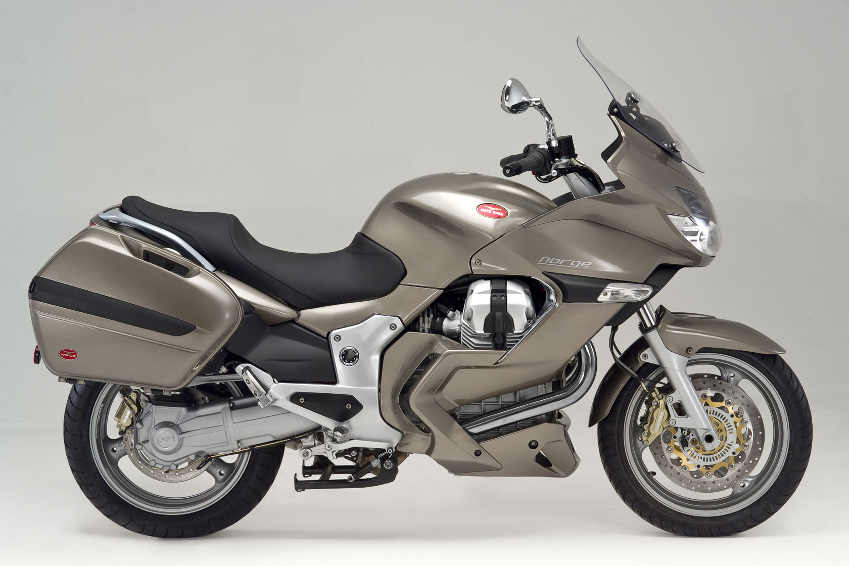
I spent the night at my adventure buddy's house on Thursday evening, then early Friday morning we met up with the rest of the gang. I was on my recently-purchased 2007 Triumph Sprint ST, he was on a 2007 Yamaha FJR1300. There was also a 2008 FJR1300, a 2009 Moto Guzzi Norge, and a Suzuki V-Strom 650 that was a few years old.
We started out taking Hwy 224 through Estacada, where we gassed up, then continued out until just past the Ranger Station. It was raining lightly the whole way - not weather I was looking forward to. We tried to turn on National Forest Development Road 57, and thought we had, but we got a about 3 miles and ran out of pavement. After about 1/4 mile of slipping in the mud, we turned around and went back to the Ranger Station to ask for directions.
Finally found 57 and took it to National Forest Development Road 58 (57 runs out of pavement). 58 was narrow and only one lane wide, but it was nice, but it didn't take long for us to start spotting some snow patches. Obviously not an often-traveled road, at one point we went through a fallen tree that looked like it had only recently been cleared. However, at about 4500 feet of elevation, we were stopped by snow and, after getting about 10 feet into it, had to turn around.
Here's our route, though imagine that we had to turn around most of the way down 58 and use the rest of 57 (which, though it's on the map, Google doesn't recognize) and swing past Timothy Lake on our way to 26. Besides that, the map is accurate:
View Larger Map
So it was back to 57 for us. The next 6 miles were completely unpaved (except for a bizarre 400-foot stretch of straightaway). My bike felt loose, and I almost lost it on some of the turns, even at only 25 mph. Finally we got to Timothy Lake and found pavement again; our speeds increased dramatically.
Eventually we made it to US-26, briefly, before turning off onto OR-216 toward Maupin. We covered the 29 mile stretch with amazing celerity and, after descending on twisty roads, ate lunch in Maupin at the Rainbow Tavern.

After Maupin it was more twisties for a bit. Being the slowest rider in the group, I had fallen behind everyone... and fell behind even more when I we ran into cattle (not literally). A group of ranchers was herding at least 60 head of cattle down the highway. The few miles after that had intermittent area of cow-produced low traction.
I caught up to everyone just in time to get drizzled on a bit. So we stopped in Kimberly to put on rain gear. Then we stopped 20 minutes later to take it off. Eventually we met up with US-26 along the John Day river. We traveled through part of the beautiful Picture Gorge and stopped for pictures.

We made it to John Day by 5:15 and put a final tank of gas in the bikes. We left John Day heading east on US-26. For a few miles we were followed by a sheriff, which made me a little nervous. Fortunately, he turned off. We then turned onto OR-7 to go straight to Baker City. Ended up following a train of about 10 cruisers, going 25 mph slower than us. We followed them for 20 miles until we found a straightaway (with only one cop, and I didn't see him!) and we passed everything. The highest elevation along 7 was 5300 feet... and it was COLD!
We arrived in Baker City by 7:30 or so. As a group we parked our bikes at the High School (where the fifth-wheel trailer was) and took the truck downtown, being sore from 350+ miles of riding. Dinner was at the Baker City Cafe where we downed beer & pizza. The evening wrapped up with more drinks and hanging out at the trailer.
* Important note: please note that, in order to respect privacy, I don't generally use the names of other people. Sometimes it seems like this blog is all about me, but I'm the only non-public person I know that I have permission to write about.
posted by Burton at 8:19 PM
![]()

0 Comments:
Post a Comment
<< Home